Could I climb it? Should I climb it? I stood and stared at the summit block of Round Top wondering if the climb was too risky. If this had been a rock jutting up from a beach, I would have monkeyed my way up without a second thought. However, I was at 10,381 feet (the tippy-top summit of Round Top) minus about 21 ft. A step to my left was a cliff that dropped off dramatically towards Winnemucca Lake, a step to my right was a cliff that dropped almost 3000 feet down to Summit City Creek. I was in the Mokelumne Wilderness just south of Carson Pass, backpacking for the first time in years. I had several goals for this trip. First, you know, mountains. Second, training for a September Whitney attempt. Third, participating in data gathering for a citizen scientist organization called Adventure Scientists.
The plan was for a three-night trip beginning with car camping at the Hermit Valley campground, a nice little spot nestled amongst the trees, 37 miles up the road from Arnold and 5 miles before Ebbetts Pass on Highway 4. After setting up my tent, I moseyed about staring up at the tree tops looking for pine cones. The goal of the Adventure Scientist study is to find clusters of unopened female pine cones (did you know pine cones come in male and female types?) that can be easily collected to help with reforestation after fires and the like.
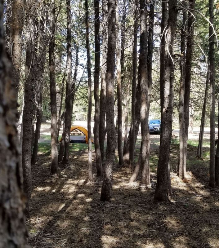
Hermit Valley Campground. Photo by Me.
Carson Pass
The following morning, after a fitful night of sleep, I drove around through Markleeville to the Carson Pass Information Center and collected a camping permit for the next two nights at Round Top Lake. I parked at the trailhead, after a detour to Kirkwood to get coffee and snacks, packed, and finally got on the trail by 11:30. The route for the day wasn’t all that long, so I wasn’t in much of a hurry.
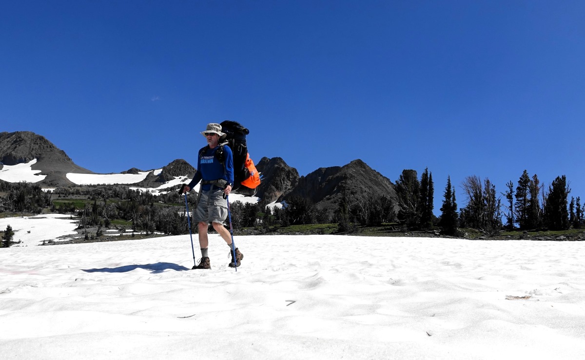
Meiss Trailhead parking lot. Elephant’s Back is the hump on the left, Round Top is the tallest hump in the middle. Photo by Me.
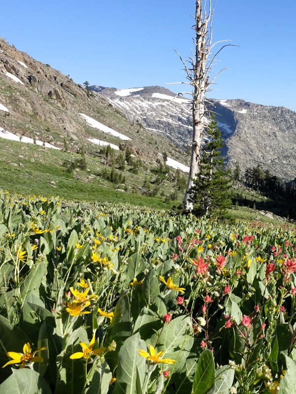
The trail leads you first through a shady pine forest and then as it gets closer to Winnemucca Lake, the trees spread out and shrink and they’re replaced by low ground cover, patches of flowers, and clusters of rock. There were more people on the trail than expected and I was asked repeatedly where I was going, if it was overnight, and if I was a through-hiker. The big problem with having such a busy trail (aside from general aesthetics) is that one is restricted in one’s ability to relieve oneself. By the time I found an appropriate spot I was in considerable discomfort and even then I think I managed to offend someone.
The trail levels out as it wraps around Winnemucca Lake (named after a Northern Paiute Chief from the 1900s, in case you were wondering), takes an abrupt steep upturn, zig-zags for a 1/2 mile up a sandy hill, and relaxes again at Round Top lake. My campsite, number four of five, is on the other side of Round Top Lake nearer to the snowfield and steep cliffs that rise just past the water and up to the peaks of The Sisters.
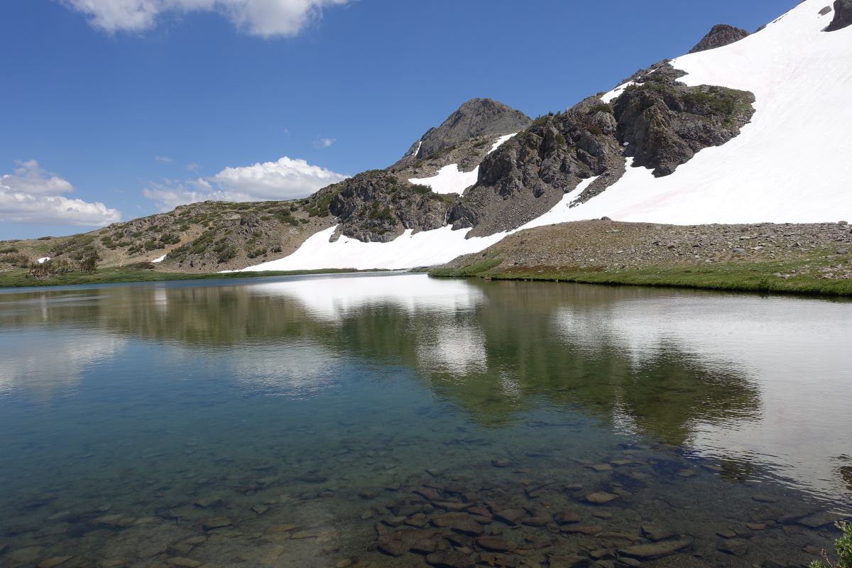
Round Top Lake. Round Top peak in the center. The Sisters poking up above the snow field. My camp is about 100 meters behind me. Photo by Me.
I assembled my house for the night and lay down for a break and a good old ponder about plans for the rest of the day. I decided to climb Round Top that afternoon and Elephant’s Back the following day.
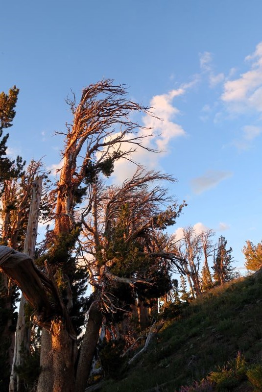
Alpenglow on the trees behind my campsite
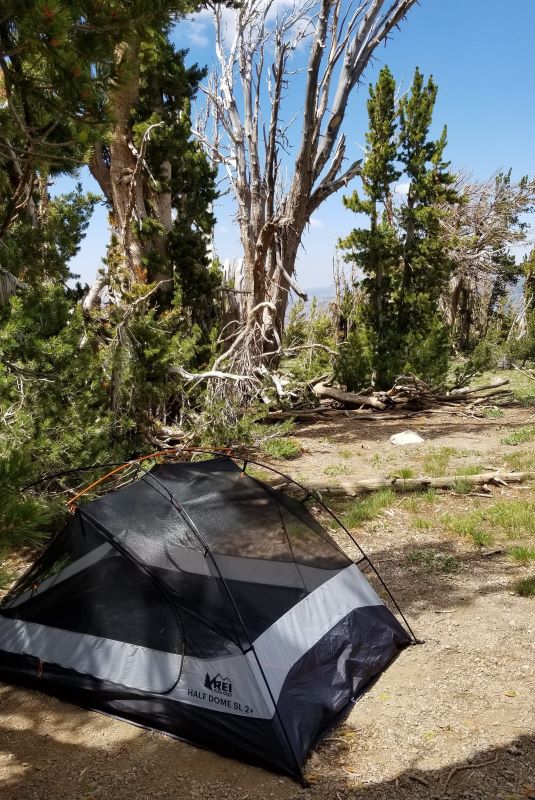
My home away from home.
It was easy to get to Round Top Peak, I just had to go back around the lake in the direction of the trailhead and hang a right before going down the steep hill. The trail rises up, above the lake, and gradually steepens and morphs from sandy dirt (or snow) to volcanic basalt splotched with bright neon orange and yellow lichen. The distinct trail disappears and the drama of the drop-offs increases along with the views. At one point I was walking on the thin ridge itself. In the end, I got to a place I thought was the base of the summit block. I looked up, it was only about 21 feet, and thought: ‘should I climb it?’ As much as I would have liked to make it to the tippy-top of the summit, I decided it was too much for the day and turned back. The disappointing thing is that after returning home I did some research and I may not have been in the right place to summit. Previous trip reports suggested I should have veered off to the south for an easy climb up.
On the way to Round Top
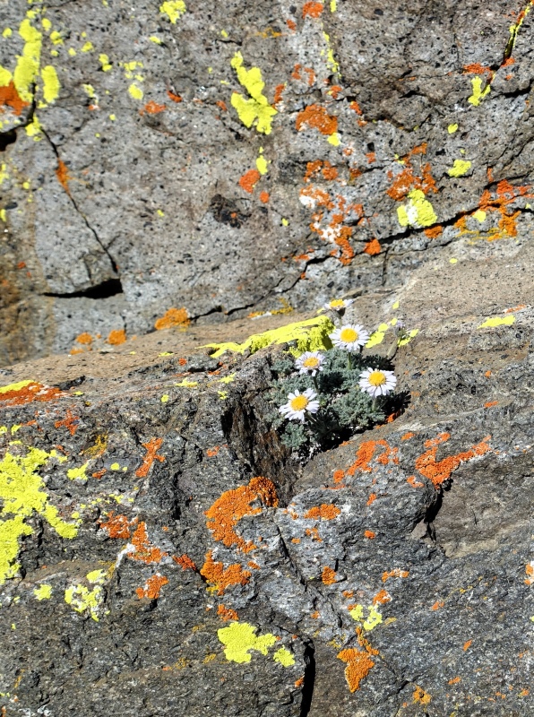
Lichen....
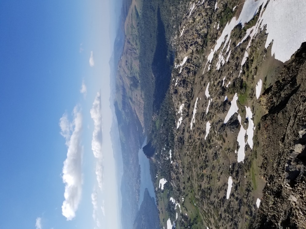
The view from the Round Top Ridge. Caples Lake and Black Butte out there….
I warily retraced my steps back to the edge of the basalt and stood looking covetously at the next peak over. For orientation: I faced west, behind me was Round Top Summit, and in front of me, maybe 1/3 of a mile away was the peak of The Sisters. The right side of The Sisters was a steep cliff dropping down to Round Top Lake and just beyond, my campsite. Rolling smoothly down to the left, as if it were a course built for rolling marbles into the valley, was a slope that swooped down and around and into the lush Edenic valley of 4th of July Lake. From up high I noticed, to the north-west towards Caples Lake, an odd mass of rock that seemed out of place, on its own, and almost daring me to come and climb it. Later I looked and found out it was Black Butte.
The Sisters (the closest peak on the right side)
I decided to try for the peak of The Sisters and then see if I could contour around back to my campsite, thereby circumnavigating the peak. This is one of the big joys of tromping around in the Sierra. That random offroad exploration that feels like an actual adventure, far from anxious civilization, and with a soupcon of danger (not real danger…for anyone reading this who worries about me). Summiting The Sisters (sounds like porn) turned out to be an easy (comparatively) and safe (relatively), scree slog. As I stood on the top looking around, once again my eye was drawn to Black Butte sitting out there like a treasure island rising above the green field.
The second part of my plan didn’t work out so well. The mountain didn’t want me to contour around, it kept thrusting up unpassable mini-cliffs in my way forcing me to angle farther down towards the valley. This wasn’t a big problem, it just meant a longer hike back to my camp. The hillside I was walking down was all kinds of obnoxious varieties of scree. Everything from hand-sized rocks that felt very unstable, to light sand where with every step my foot slid along with its own mini-landslide.
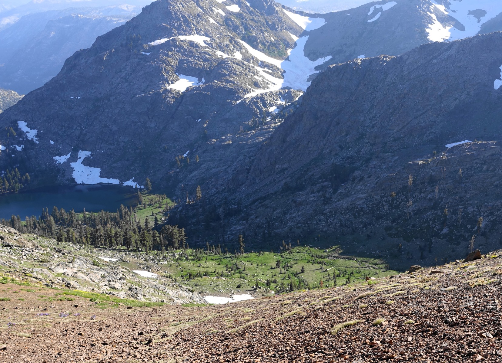
4th of July Lake out there on the left.
Eventually, with four or five breaks to empty rocks out of my boots (shoulda brought my gators), I made it to the trail and headed back to camp. It was a nice hike with fields of flowers, a little stream, and a marmot that ran directly at me down the trail.
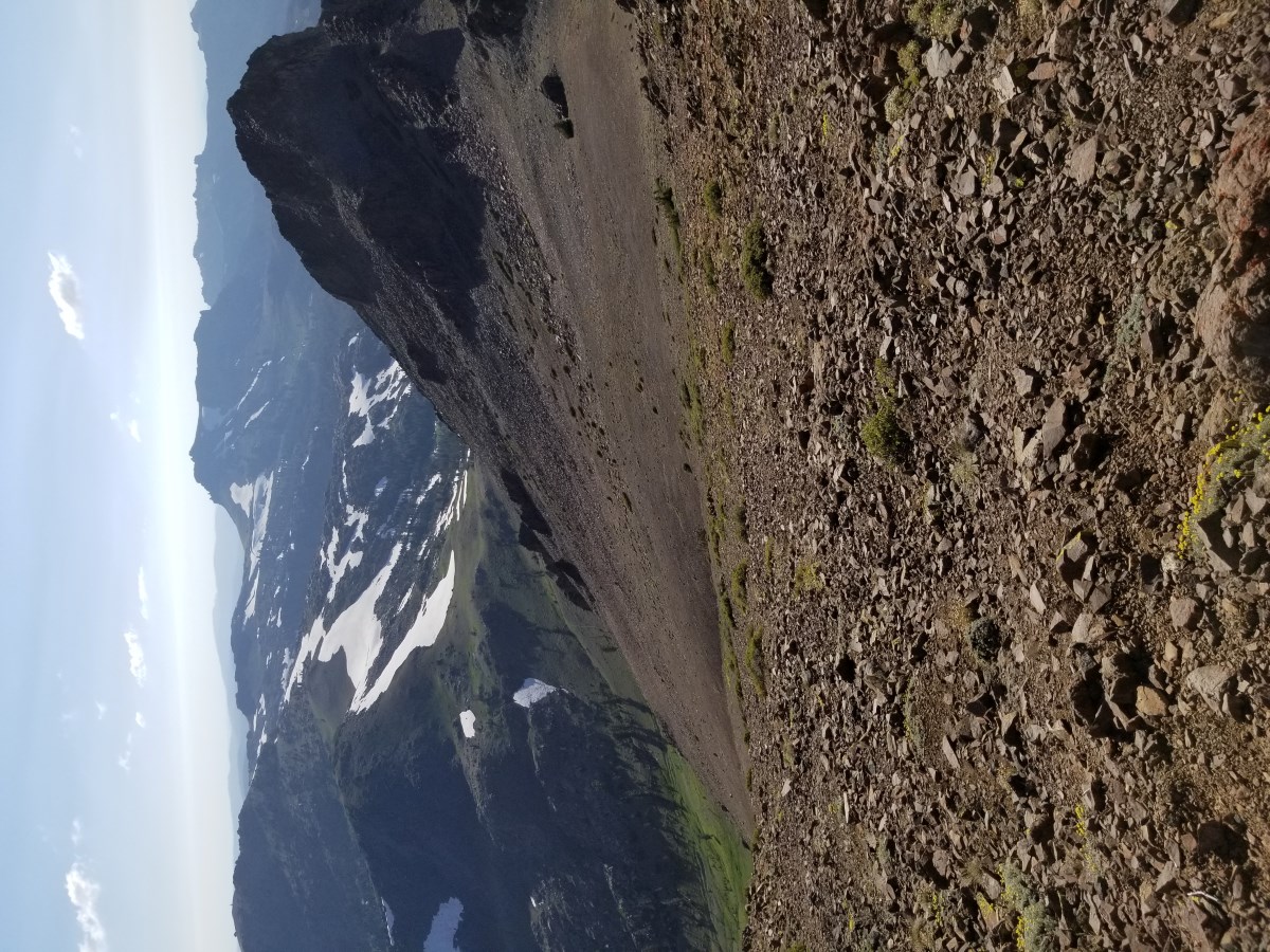
Round Top tiny dark round peak way off in the distance on the left.
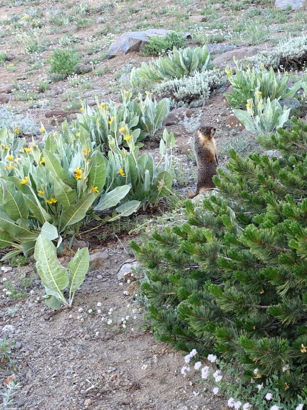
Marmot....
That night I slept poorly again. I realized during this trip that I love the exploratory adventury part of backpacking more than I expected, and I mislike sleeping in tents even more than I remembered.
In the morning while I blackened my pot and stove to boil water for coffee, I decided to change my plans and do a long day and then home instead of staying another night. I would start by climbing Elephant’s Back in the morning and in the afternoon I’d pack up and hike out by way of Black Butte, Woods Lake, and the last mile of dirt road before the parking lot and car I’d collect pine cone data for the Adventure Scientist study.
The second peak goal for this area was Elephant’s Back. To get there I had to go back down and around Winnemucca Lake. On the way down, well, remember how I mentioned on the way up there were too many people to just go when I needed to go? Yes, same, but…you know…worse. I made it around the lake and up into the lower slopes of Elephants Back where the terrain was mostly scrub and big rocks. No accidents. And that’s all I’ll say about that.
On the way to Elephants Back.
Weird volcanic rock on the top.
Elephant’s Back was just a hike to the top. Not even a very hard hike as far as peak-bagging goes. Interesting squeaky, light, not-quite-pumice, grayish-red, volcanic rock covered the top and sides and there were beautiful views all the way around.
I retraced my steps back to Winnemucca Lake. While I was lakeside refilling my water storage by filtering water, I saw something I wasn’t expecting: a couple of nekkid people diving into the lake. Back to camp and a short recovery layabout to prepare for the big hike out. Before packing up and leaving, I scouted my intended route back to civilization. I wanted to see if hiking cross-country down to Black Butte and then over to the Woods Lake trail looked viable. In between me and the rock were gentle slopes, big stepped snow fields and meadows.
So, I put away the tent, packed everything, and hiked off the plateau. The route down to the rock was every bit as lovely as I had hoped. There was a little bit of route finding to avoid streams and wet spots but I made it down fine and had giant views all the way down the valley with lakes and snow fields and mountains up the other side in the distance.
Our intrepid explorer hiking out. Round Top on the far left and The Sisters immediately to the left of me.
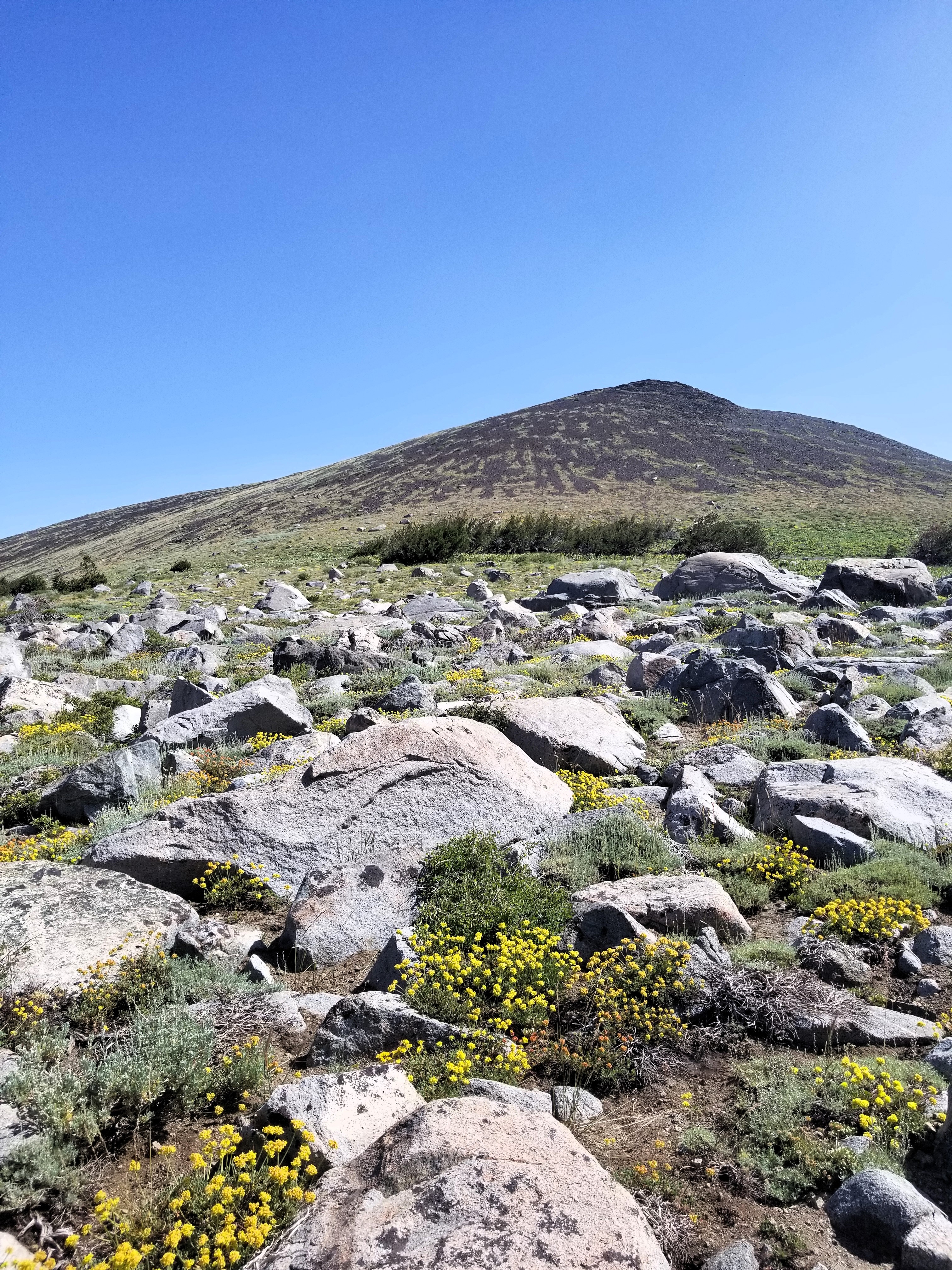
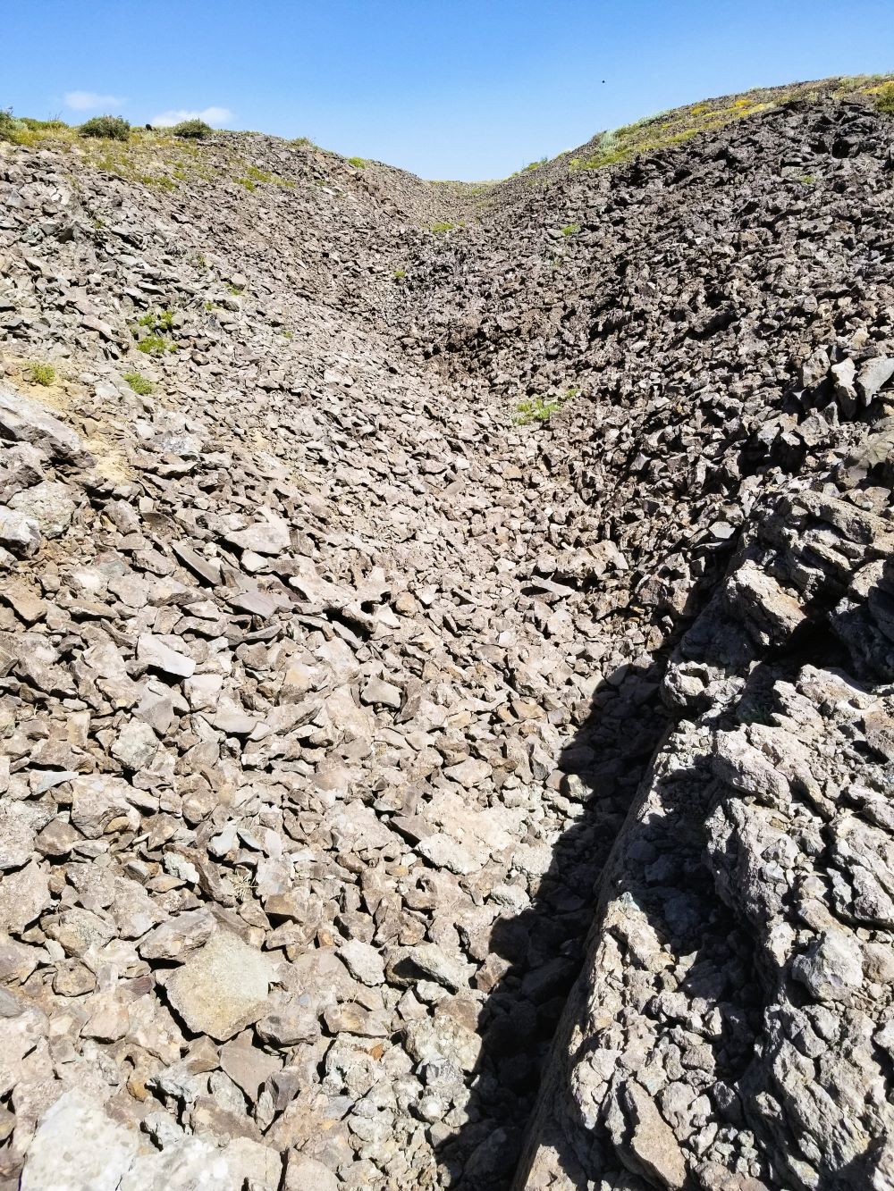
At Black Butte, I dropped the pack on a rock and walked up a sandy ramp that steepened as it went up until at the top it was almost climbing. Black Butte is a crazy volcanic structure with knobs of rock and slots and strange shapes. I could see that the pinnacle I was on wasn’t the highest part of the formation, also that it would take a big down around and up to get to the summit. More than I had time for.

Caples Lake form Black Butte.
I re-shouldered my pack and headed cross-country. It took some route finding to get across the stream and to the Woods Lake Trail, but not too much. The trail took me past The Lost Mine, a decaying mine and related equipment and buildings, and down a lovely forested trail to Wood Lake Campground. The campground road links up with the highway, but instead, I took the low road, an old dirt road that’s gradually being reclaimed by the forest. Not only was it a nicer walk (except for the mosquitos) but it was a good location for me to do another session of pine cone surveying for the Adventure Scientists study. I spent my final minutes in the forest staring up into the tree tops with my monocular telescope looking for pine cone clusters all the while swinging and slapping at the swarms of mosquitoes that were trying to drain me of my very life’s blood. By the time I hit the parking lot I was pretty glad to be away from the little buggers. And I didn’t find any pine cone clusters to speak of. All in all a pretty good trip (except for the mosquitos).
Practical Information
The Carson Pass Management Area
Round Top, Elephant’s Back, and associated lakes and campgrounds are all within the Carson Pass Management Area (CPMA) which was created “…to protect and promote the restoration of the shorelines and geological features in this high-use area.” The CPMA is part of the Mokelumne Wilderness and the Mokelumne Wilderness is part of the Eldorado National Forest. I’ve been meaning to look up what’s up with all the different designations.
Location
The main trailhead and Carson Pass Information Station are within spittin’ distance of Carson Pass on Highway 88. It’s about a 30-mile drive south from South Lake Tahoe and 100 miles west of Stockton.
Permits
Permits aren’t required for day use in the CPMA but are always required for overnight camping. If you are overnighting you can only camp at an assigned campsite in one of the three campgrounds: Round Top Lake, Winnemucca Lake, and Fourth of July Lake. Permits are obtained first come first served and in person from the Carson Pass Information Station, in the summer, or at the Amador Ranger District Office, in the winter. Be aware that on weekends during the summer the permits will run out, so get there early.
Parking
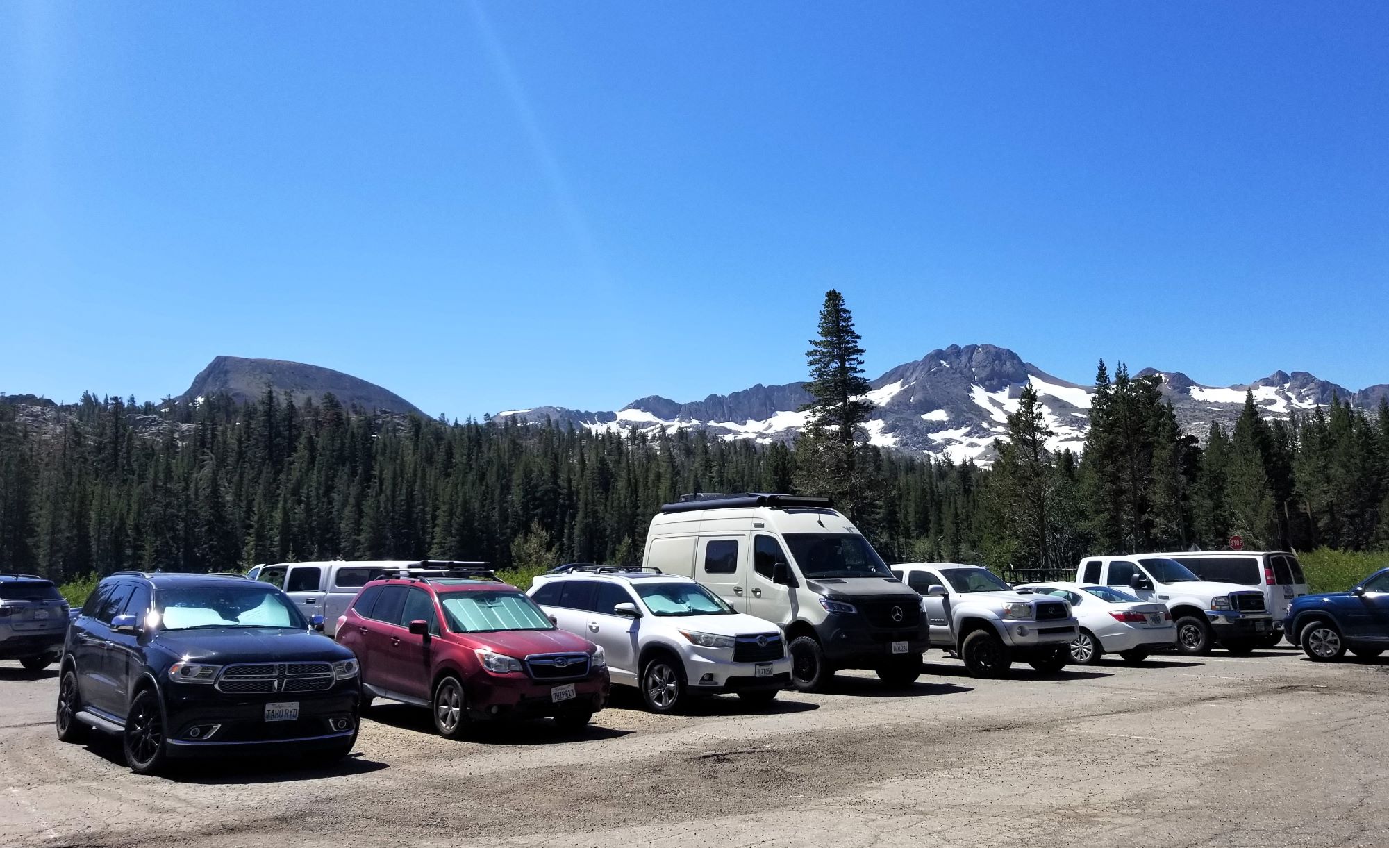
There is a 20 or so car parking lot right next to the information station and when that fills up (which it will) there is an overflow parking area on Red Vista Rd a couple hundred feet east and another west at the PCT Meiss trailhead. Parking is $5.00 a day and is always required at all three locations. If you go down the red Vista Rd. there’s a lovely vista point with some information about the pioneers who muscled their wagons up the pass.